When fires grow ominous in Alaska and the Lower 48, two Alaskan mapmakers from the Matanuska-Susitna Borough drop in to help.
"Doing mapping work on wildfires is very fast-paced and rewarding,” said Heather Kelley. “You become one part of an incredible team, all working toward the same goal.”
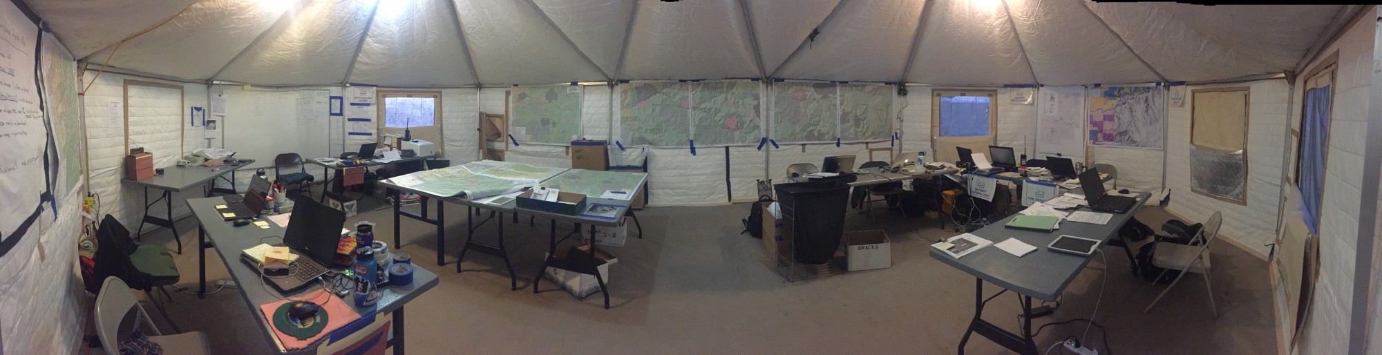
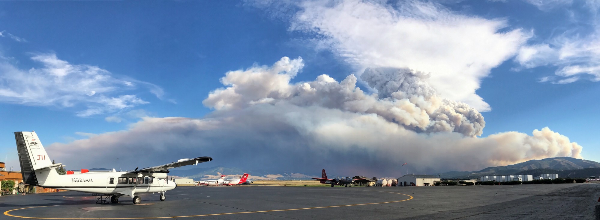
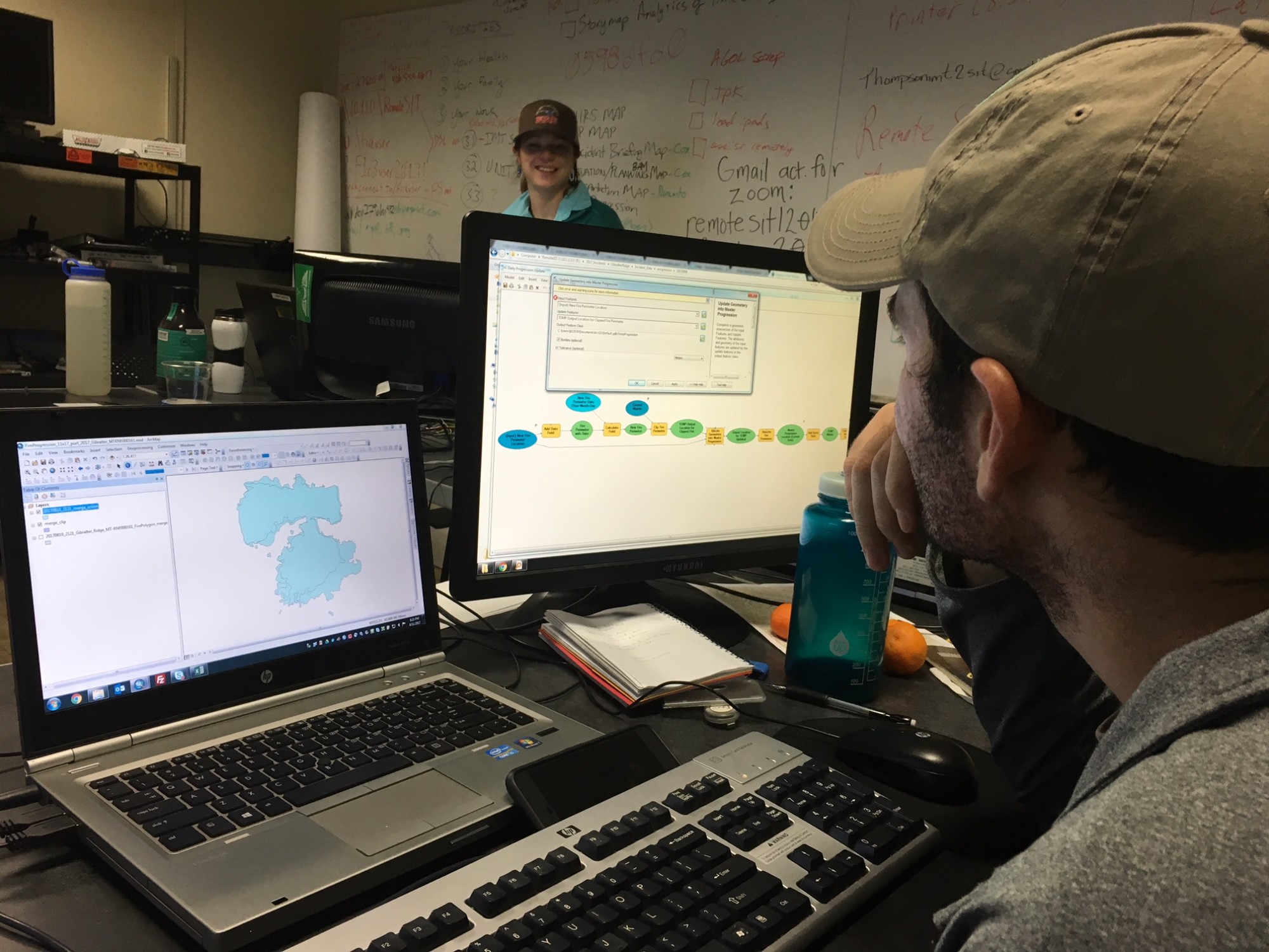
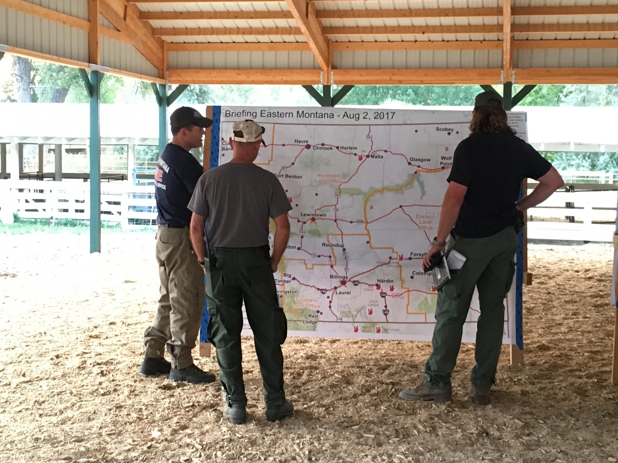
Kelley has put her skills to work on the 778-acre McHugh Fire in Alaska and the 3,020-acre Buffalo Fire and 418-acre Bruner Mountain Fire in Montana. She worked as part of a unique effort to map multiple fires from a central spot with the Northern Rockies Remote Situation Unit, based in Missoula, Mont.
“Our work was a first-of-its-kind effort in the region to see if a team of mapping specialists could support multiple wildfires from a central location,” Kelley said, “rather than the traditional model of being on site and supporting a single fire.”
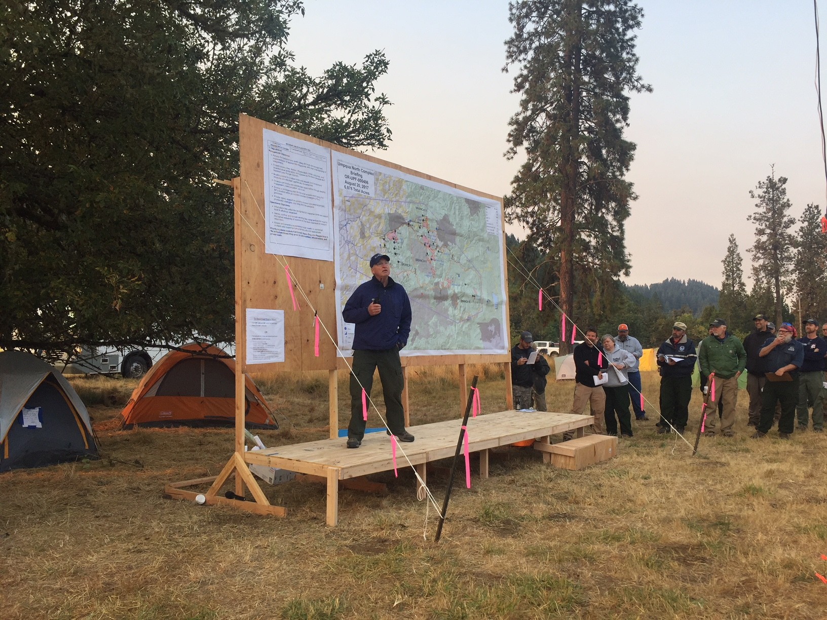
Leah Jones has lent her geographical smarts to what in 2016 was California’s most expensive fire to fight, the 132,127-acre Soberanes Fire in Northern California, and this year on the 43,158-acre Umpqua North Complex Fire in Oregon.
“It’s long hours with a high amount of pressure, but it is rewarding to be supporting all the men and woman out fighting the fire as well as the citizens of the affected area,” Jones said.
Both employed at the Mat-Su Borough as Geographical Information Specialists, Kelley and Jones, in a cooperative agreement, offer their time and know-how to the Type 1 Alaska Interagency Incident Management Team.
For Kelley’s and Jones’ time, the Borough is reimbursed wages by the incident; and the Borough, in turn, gains valuable training for home.
In December, the team Kelley worked with in Missoula, Montana, received a letter of commendation from the Northern Rockies Unit, “Along the way, (the team) provided “proof of concept” demonstrations, extensive workflow and field training, and recommendations for programs like National Infrared Operations (NIROPS). Their teamwork and support of each other in a fast paced, learning environment was effective, and phenomenal to watch.” wrote Task Force Leader Matt Gibson.
New ways to use and share mapping technologies and resources from the Borough’s GIS (mapping) division is part of a Borough IT-led effort in the state called Smart Communities.
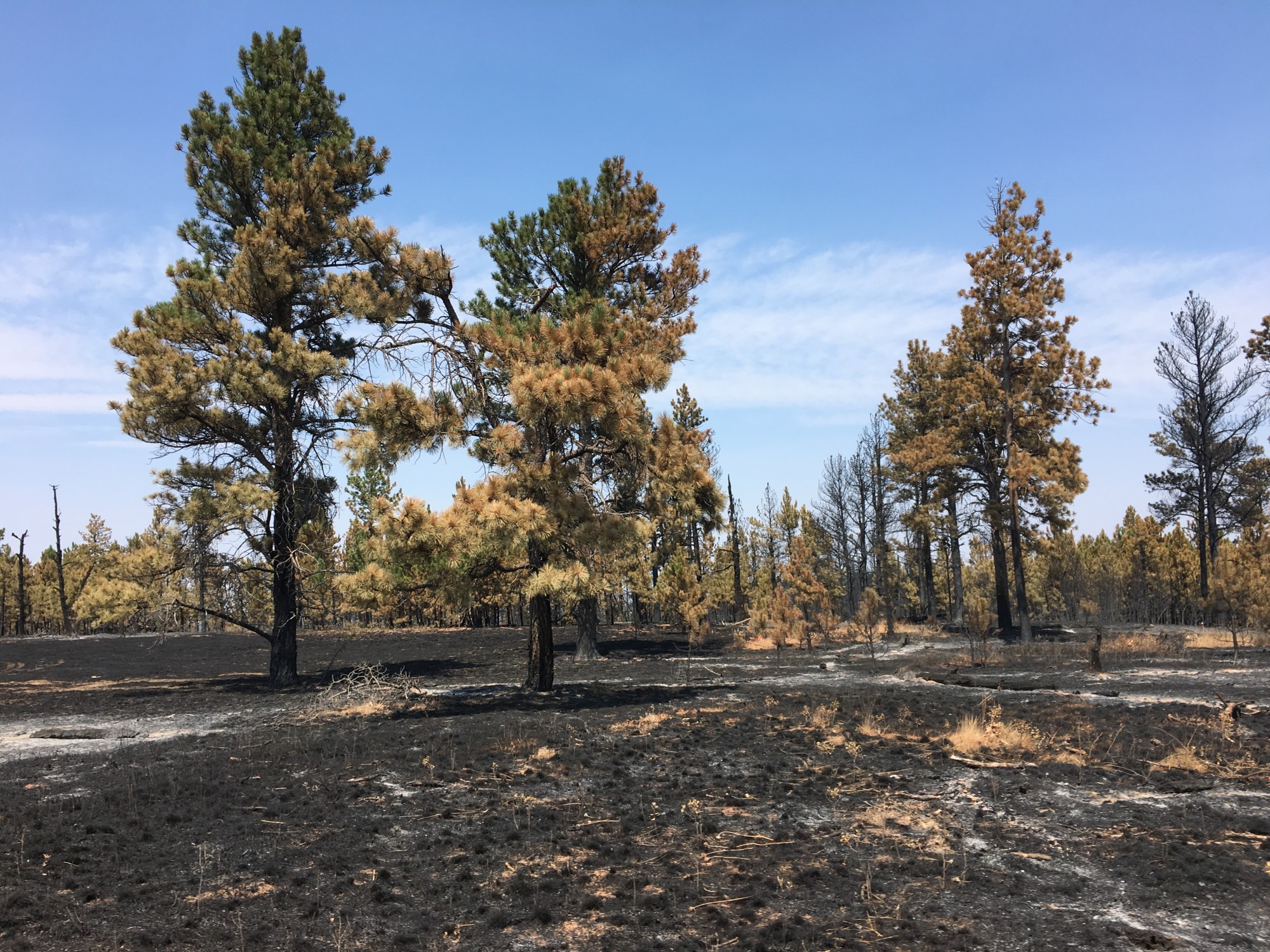
This important teamwork, in part, grew out of Borough mapping experts wanting to help out with local fires, including both the 7,220-acre Sockeye Fire in 2015 and the unusual October, 303-acre Moose Creek Fire. Borough mapping specialists were the first to help the Alaska Division of Forestry (DOF) put a perimeter on a map to inform the public.
“Working with the Alaska Incident Management Team has proven to be rewarding not only in expanding my knowledge in disaster management but in helping out a community during a difficult time,” said Jones.
Borough employees working with DOF and the Alaska Incident Management Team “is a great example of federal, state, and local governments working together in a way that benefits all three,” Kelley said.
For more information, email Public Affairs Director Patty Sullivan at This email address is being protected from spambots. You need JavaScript enabled to view it. or (907)861-8577.
Photos of fires and teams supplied by Heather Kelley and Leah Jones.
—End—