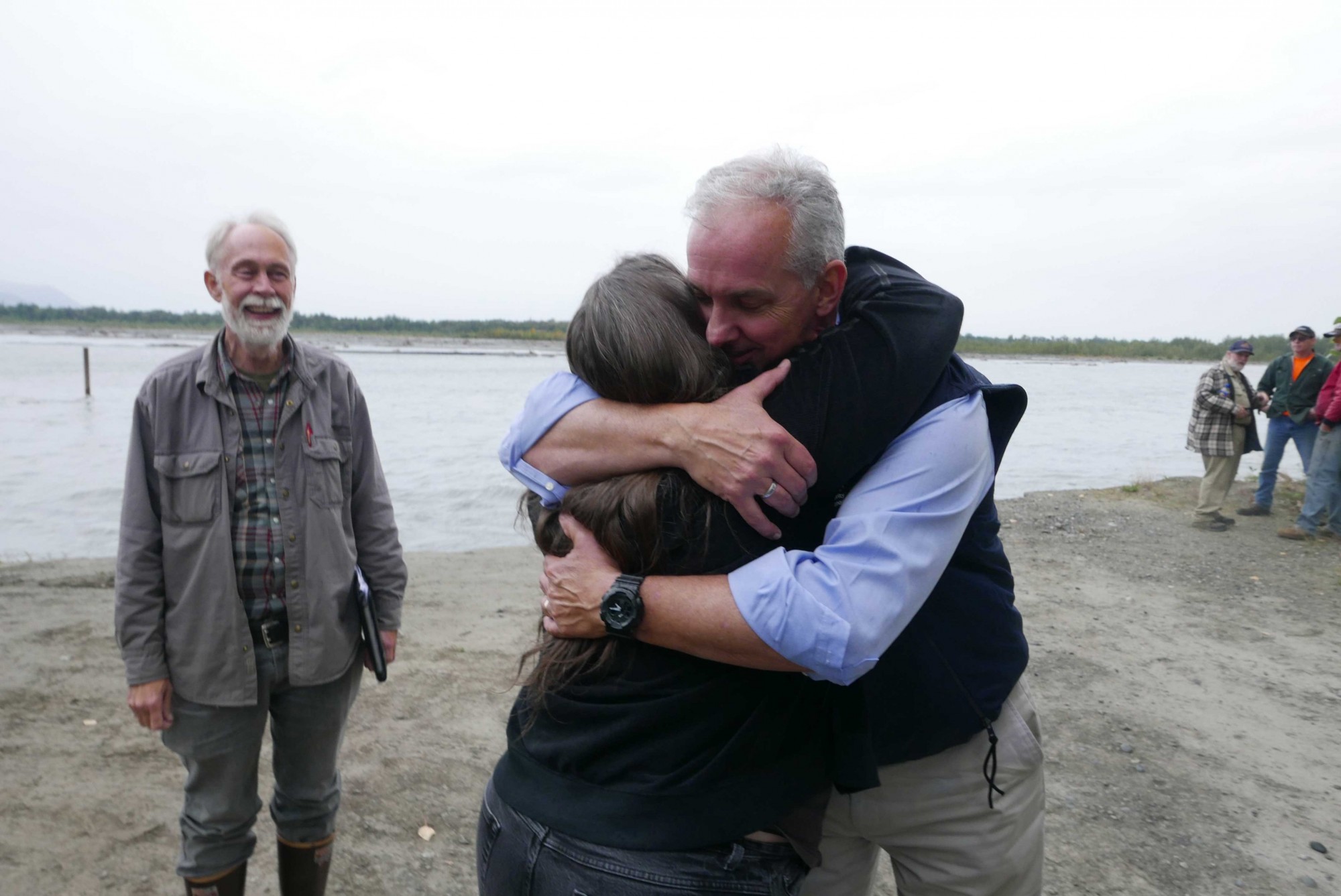
Matanuska-Susitna Borough Manager John Moosey and Mayor Vern Halter declared disaster today for the ongoing severe erosion along the Matanuska River in Butte. A few hours later, from a plane, Alaska Gov. Bill Walker gave support with a verbal disaster declaration, offering resources and protection of private homes and public infrastructure.
See the two videos below.
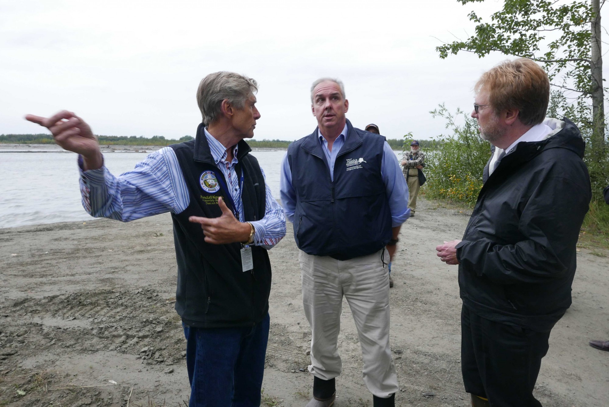
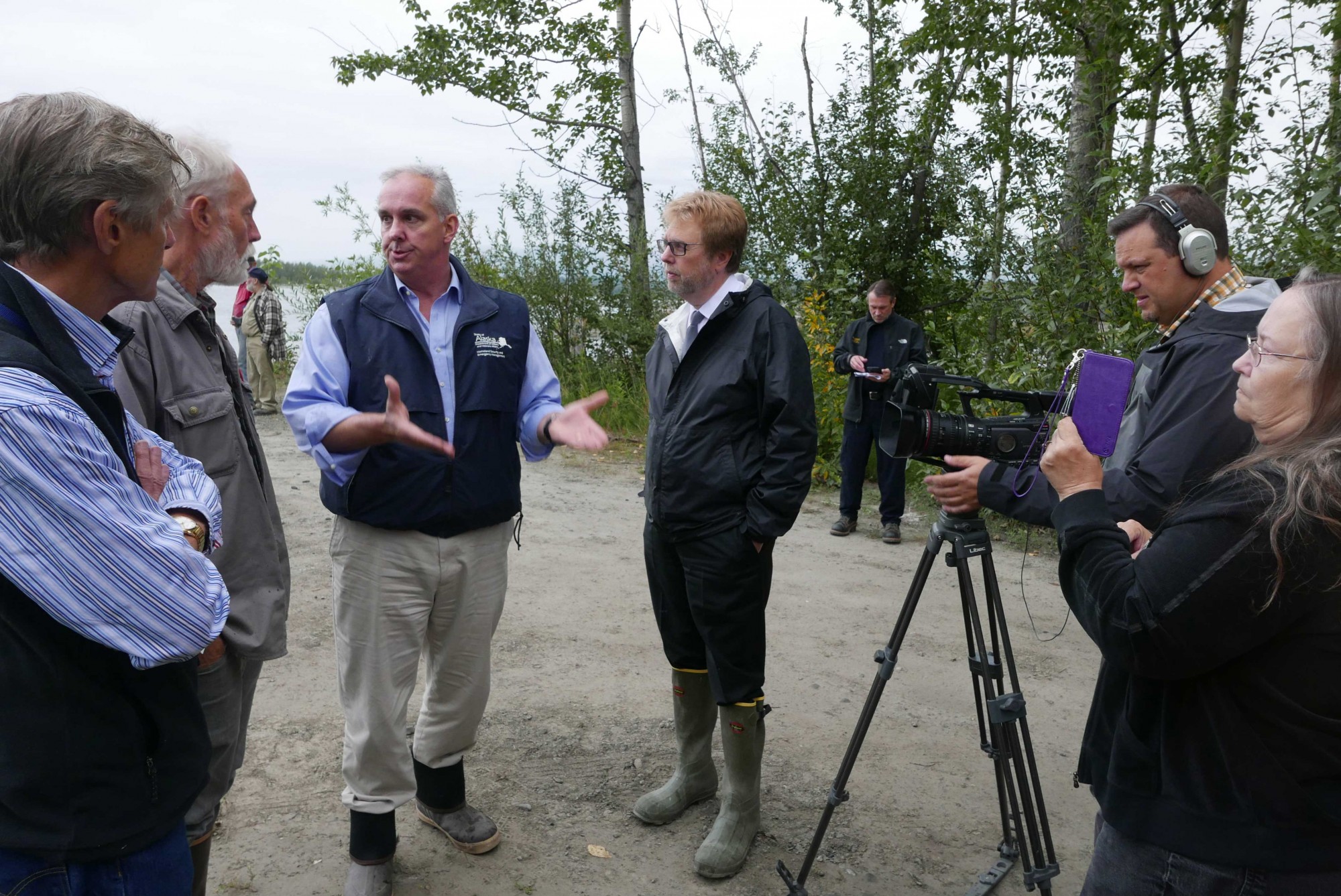
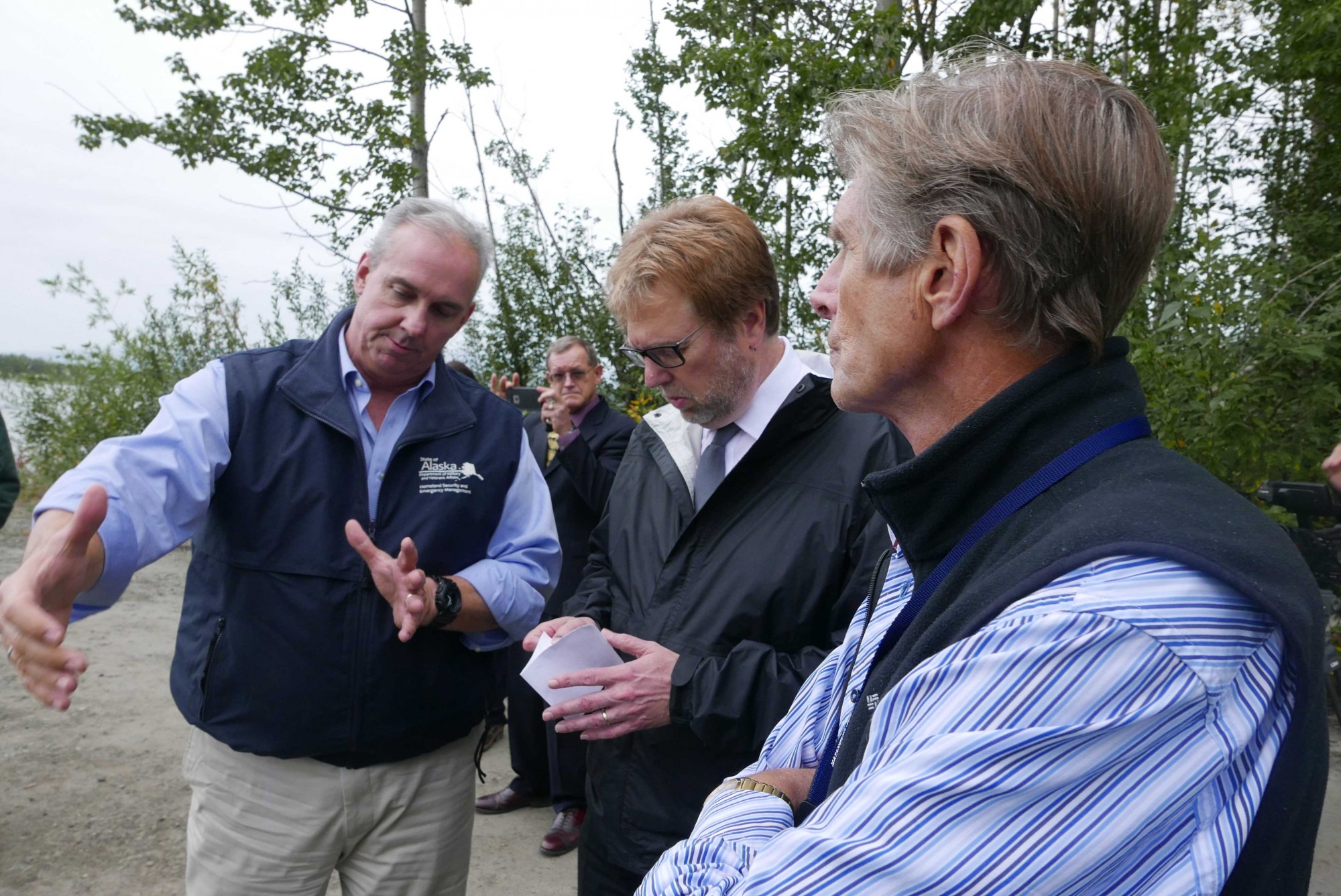
HOMELAND SECURITY MEETING
Borough officials at 4 pm met at the edge of the swift, pounding river with Mike O’Hare, Director of Homeland Security & Emergency Management, with the Alaska Dept. of Military & Veterans’ Affairs.
“I’m looking at some protective measures for the road, the concept is to put a trench in, put in some rip rap and then cover it up to protect the critical infrastructure. They’re (US Army Corps-AK DOT) not quite sure if that’s going to help, but it’s something,” O’Hare said.
GOV. WALKER
Alaska Gov. Bill Walker said in his press release “I want to make sure Matanuska-Susitna Borough residents who are alongside the Matanuska River have the necessary resources to protect their homes and property, therefore I have verbally declared a disaster, which means relief operations will begin immediately.”
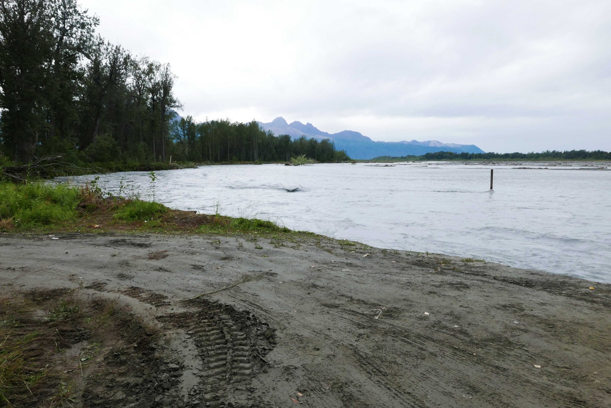
RIVER AIMED AT RIVERBANK
The river is not at high levels, though rain is in the forecast. What’s different this time on the meandering, silt-laden Matanuska River, is that the full brunt of the river is aimed at a soft riverbank west of mile 15 of the Old Glenn Highway. The river is up to 15 feet deep where it blasts alongside and into the silty bank. Behind that eroding riverbank, some 40 yards away, is a long pond and low lands that would be inundated with river water quickly if the river breached the bank. Rapid flooding with little notice is possible. A map is posted here that shows, in pink, the land in a flood zone.
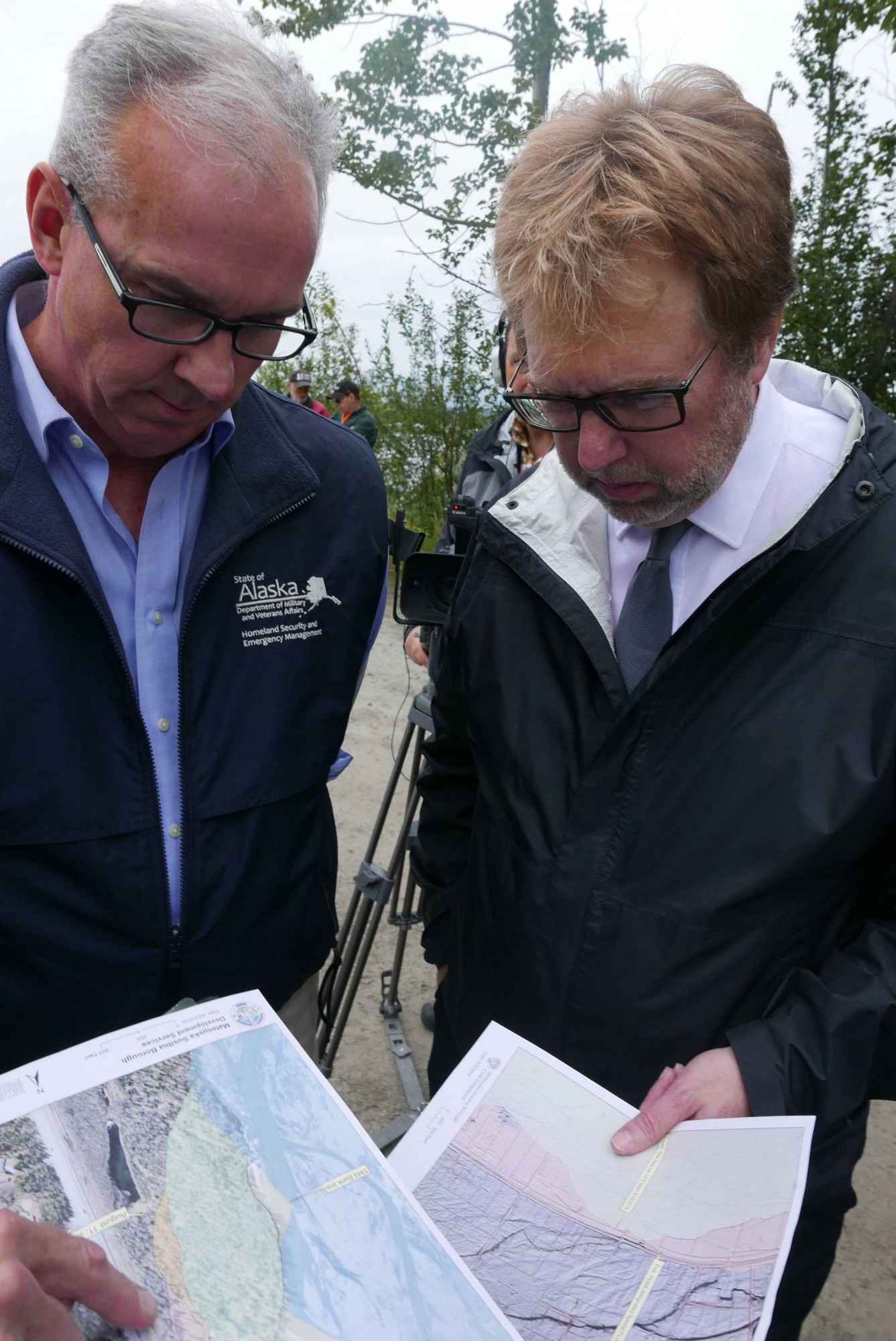
ASSEMBLY MEMBER SYKES
Mat-Su Assembly Member Jim Sykes said “the Governor’s support is really great news.” Sykes represents the community of Butte. He began gathering GPS coordinates on Aug. 2 after the erosion began rapidly increasing. The coordinates are incorporated into a map posted here that show how quickly the glacial river has chewed into the riverbank, now just 150 feet west of mile 15 of the Old Glenn Highway. “It shows how much we lost and how quickly it can go,” Sykes said of the Borough land nearby. “The value of the property is that we can forestall disaster,” Sykes said.
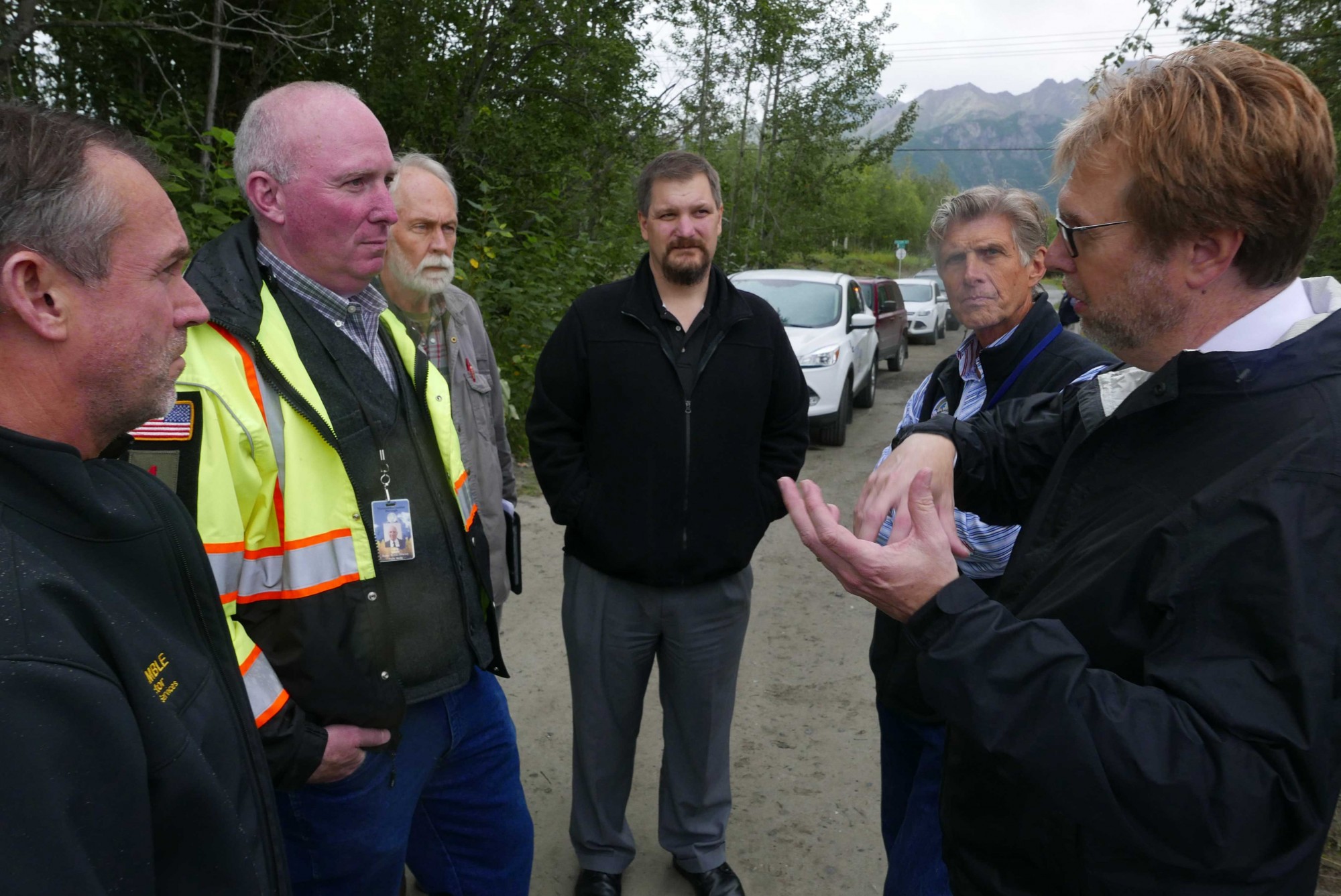
MAKE AN EVACUATION PLAN
Emergency Services Director Bill Gamble urged residents along the Matanuska River in the community of Butte in low-lying areas, especially along the Old Glenn Highway from mile 12.5 to mile 15 to prepare for an evacuation in case the river breaches.
Gamble asks Butte residents to look over the evacuation checklist and be prepared to go. “We’re not to the “go” stage but we’re definitely between the ready-set stage,” Gambell said, earlier in the day.
If evacuation were necessary, a shelter would be set up at Butte Elementary School.
For more information email Borough PIO Patty Sullivan This email address is being protected from spambots. You need JavaScript enabled to view it., 355-0103
Videos by Stefan Hinman, Borough Public Affairs
Photos by Patty Sullivan, Borough Public Affairs
Thanks to Kevin Sumners, Alex Strawn in Development Services for map support.
Emergency Services Director Bill Gamble on a plan for evacuation.
—End—