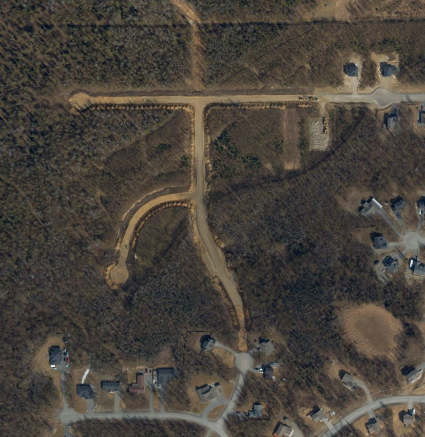
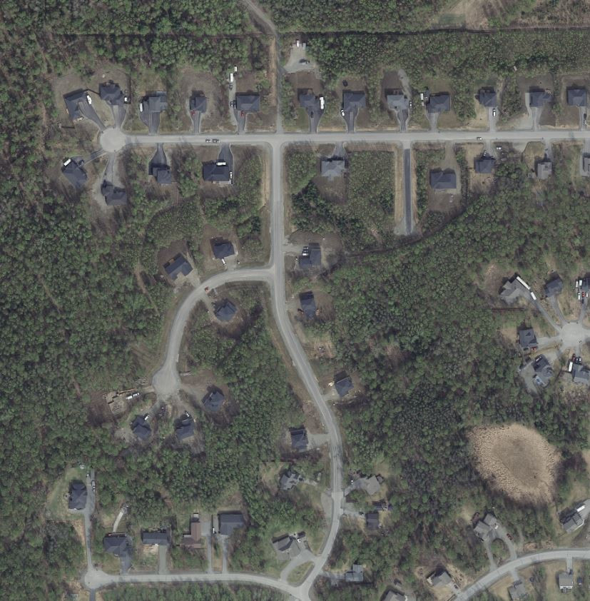
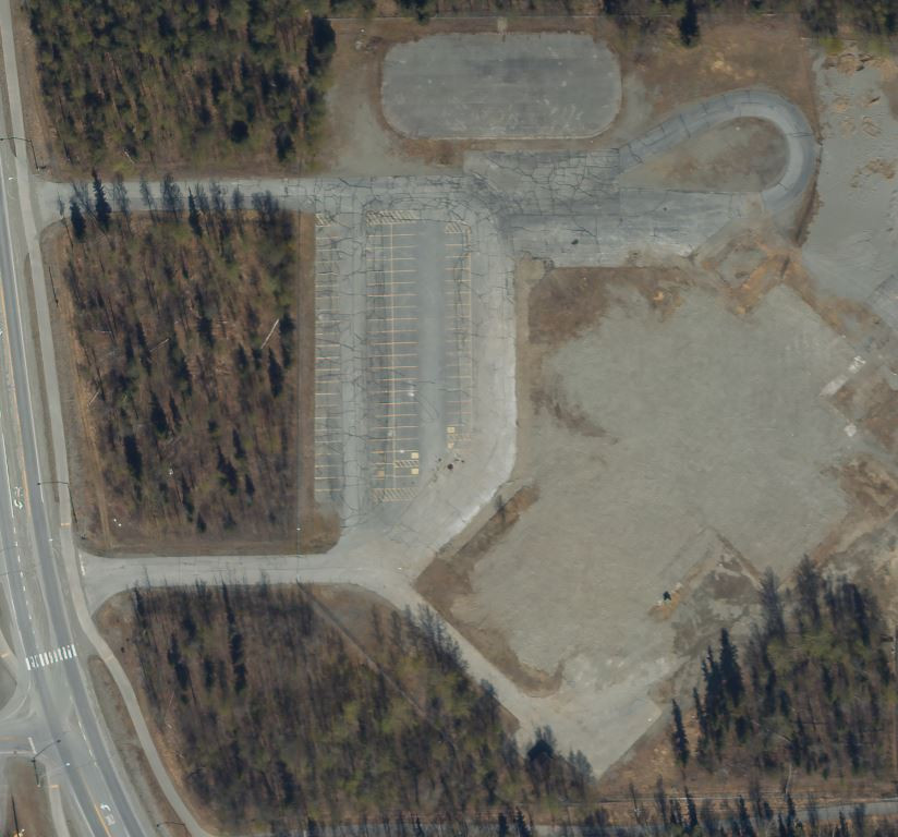
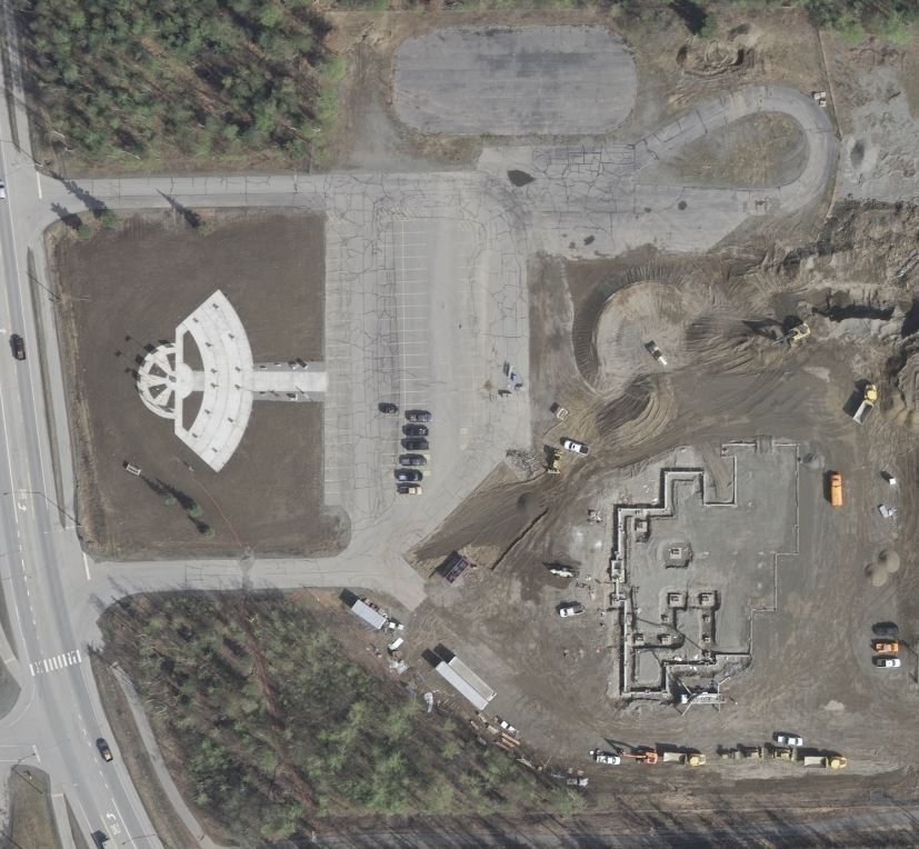
The Matanuska-Susitna Borough GIS Division is happy to announce the availability of more than 1,100 square miles of updated aerial imagery. Flown in the spring and summer of 2019, the updated area includes Point MacKenzie, Knik, Big Lake, Houston, Wasilla, Palmer, Butte, Hatcher Pass, Sutton, Chickaloon, Glacier View, Eureka, and two natural resource management units out west of the Susitna River.
Rapid growth and shrinking budgets has led all Borough departments to look for ways to increase efficiency. The aerial imagery provided by the GIS Division allows staff to gain a better understanding of site conditions which can reduce or eliminate the need for expensive and time consuming site visits. This big picture view can also improve both the speed and accuracy of decision-making. Additionally, aerial imagery is used to update features, like roads, site addresses, and public facility locations. Which means 911 dispatchers can better help police, paramedics, and firefighters respond to emergencies.
The aerial imagery is easily accessible to the general public, businesses and even scientists conducting research. Realtors and investors study properties to make sure their clients are not buying a home located in a floodplain or near an eroding riverbank; and recreationalists use it to better understand the landscape for off-road travel or hunting. The uses are nearly endless.
The easiest way to view the 2019 imagery is on the Mat-Su Borough Parcel Viewer at https://mapping.matsugov.us/parcelviewer.
Simply click the link provided, wait for the map to load, click the Layers Button, scroll down, and check the box next to 2019 Imagery.
Mapping, surveying, and engineering professionals may be interested in accessing the imagery in other ways. For example, it is also available as a web service or for purchase on a portable hard drive. For more information please check out the MSB Aerial Imagery webpage at https://data1-msb.opendata.arcgis.com/pages/msb-aerial-imagery.
The GIS Division has developed an ongoing program to maintain current aerial imagery across the populated portions of the Borough. Coming next… updated imagery along the Parks Highway corridor in 2020.
Questions can be direction to the MSB GIS Division at 907-861-7858 or This email address is being protected from spambots. You need JavaScript enabled to view it..
—End—